
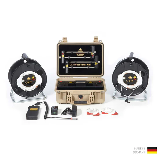
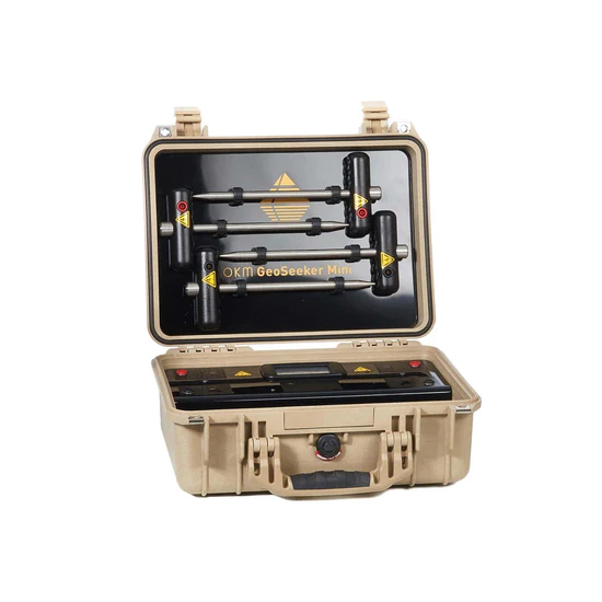
OKM GeoSeeker Mini
£9,350.00
Professional Underground Water Detector UK: 100m Depth Geoelectric System
Before investing in drilling equipment or excavation work, accurate subsurface data is essential. The OKM GeoSeeker Mini is a precision geoelectrical surveying system developed to identify underground water sources and hidden cavities at depths of up to 100 metres.
By analysing soil resistivity and converting measurements into clear 2D visual scans, it gives landowners, engineers and contractors reliable insight into what lies beneath the surface.
Detect Underground Water Before You Drill
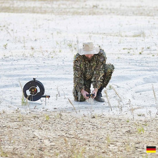
The GeoSeeker Mini uses a geoelectrical measurement method based on the Schlumberger procedure.
By measuring soil resistivity, it can identify:
- Fresh water deposits
- Drinking water sources
- Water-bearing gravel
- Groundwater levels
- Underground cavities
This allows you to reduce drilling risk and make informed excavation decisions.
100 Metre Detection Depth Capability
Customers using this geoelectric water detector have reported successful water detection down to 100 metres (328 ft) depth.
Depth depends on soil structure and moisture content, but this level of capability makes it one of the most powerful compact underground water detection systems available in the UK market.
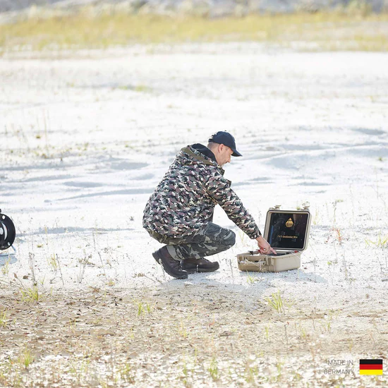
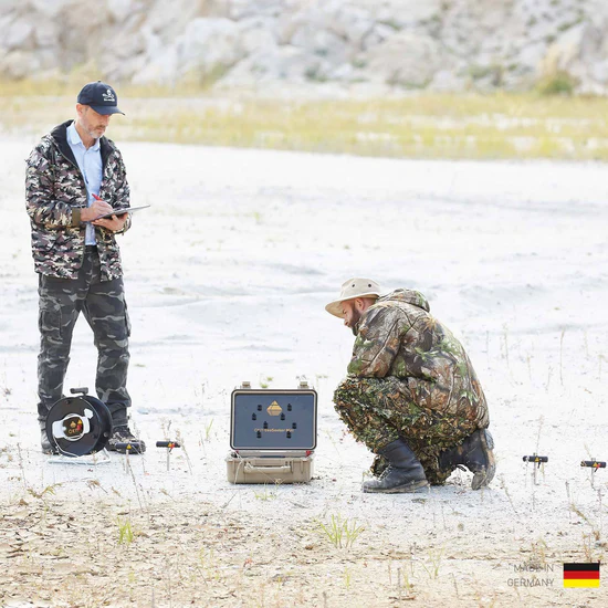
How the GeoSeeker Mini Works
- Select your desired measurement depth.
- Choose the number of scan points.
- Follow the graphical instructions on the touchscreen display.
- Move electrodes as instructed.
- Review the final 2D underground scan image.
The system uses picture-based guidance, making it easy to operate even without technical language barriers.


What Can the GeoSeeker Mini Detect?
This geoelectric water detector can locate:
- Underground water deposits
- Water-bearing gravel layers
- Aquifers
- Cavities and voids
- Backfilled wells
- Subsurface anomalies
It is ideal for:
- Agricultural land
- Borehole planning
- Rural property development
- Geotechnical engineering surveys
Designed for Professional Use
The GeoSeeker Mini is suitable for:
- Farmers
- Land developers
- Drilling contractors
- Survey professionals
- Water exploration specialists
If you want to reduce uncertainty before drilling, this system provides measurable ground data rather than guesswork.
Technical Specifications
Control Unit
- Dimensions (H x W x D): 410 x 340 x 180 mm
- Weight: 4.5 kg
- Input voltage (max.): 11 – 13 V DC / 30 W
- Display: 3.5” Resistive touch, 480 x 320 Pixel
- Display CPU: Cortex M3, 32 MHz, 128 KB RAM
- Data memory: 4 GB
- Sample rate: 4096 Hz (64-fold oversampling of 512 values)
- Operating time: approx. 6 – 8 h
- CPU: 80 MHz Cortex M3
- ADC: 16 bit
- Effective Range: (differential) –1400 to +1400 mV
- Measurement Period per Scan Point: min. 16 s
- Output: 320 V / 0.4 A
- Input Resistance (static): approx. 12 MΩ
Power Cable Drums (Ø 290 mm)
- Dimensions (H x W x D): 360 x 290 x 200 mm
- Weight: 3.6 kg
- Cable length: 100 m
- Markers: 10
Electrodes
- Dimensions (H x W x D): 270 x 120 x 35 mm
- Weight: 0.4 kg
Voltage Cable
- Cable length: 10 m
- Markers: 10
The technical data are average values. Minor deviations are possible during operation.
